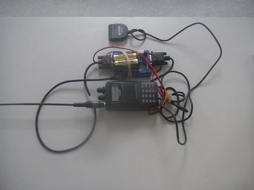
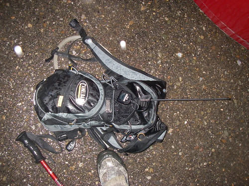
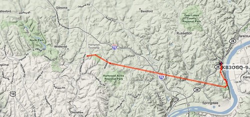
As usual, there was another task being accomplished. Last time, I was trying listen in on a 2M amateur radio (which I could do.) This time, I was running another experiment. I carried a GPS tracker that was connected to a 2M (VHF) transmitter that would broadcast my location on APRS. If all went well, it would be recorded by a digipeater that would record my position and track. All of this using equipment loaned by members of the Pitt Amateur Radio Club.
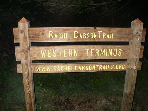
We began in North Park, going east. So it meant the fast part was at the beginning.
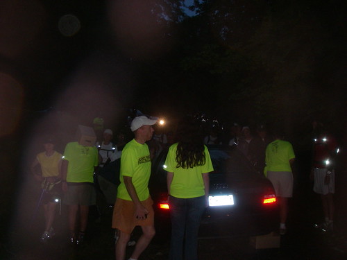
We waited in the dark, punctuated by reflective piping on everyone's shoes and gear, and the flourescent green shirts of the volunteers running the challenge.
I started out with a group that was part of an exercise club at Pitt, including a couple people from my department. We started out by crossing the stream at the beginning, helped by Mark E. the lead of the trail maintainers. Of course, B. went for a spill, filling the need to get muddy out of the way for the rest.
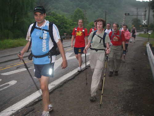
And it was important not to be concerned about getting muddy, because the trails were very muddy, a remnant of the heavy rains that caused major flooding in Turtle Creek, Pitcairn and Forest Hills earlier in the week (and yours truly was doing damage assessment for the Red Cross.) This slowed down progress through North Park to Route 8 significantly, as the mud sucked on our shoes as we went through.
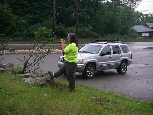
Halfway through I met up with S and J, who I trained with for the 2008 Challenge, both of whom had traveled back to Pittsburgh for this.
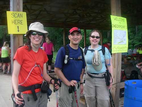
As usual, there were the many hills to climb and descend, with the twist that I was going in the opposite direction then I had in the past.

And then we pushed to the end. The clouds that were forecast throughout the day were over the finish at Harrison Hills Park, and as two of us raced through Harrison Hills Park (and made one wrong turn, that I figured out) the rains hit. Just as we got to the Bobwhite shelter, which USED to be the finish point. We pushed through the uphill through last part of the course through a downpour, which turned the trail into a torrent of muddy water. And when we got to the end, we emerged out of the woods to wild cheers of volunteers and other late finishers, who probably were not expecting anyone to navigate their way through the now skies after the setting sun and downpour.
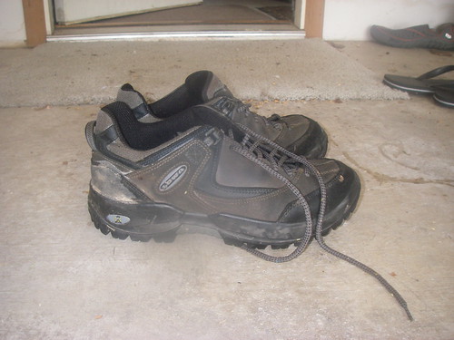
And we were soaking wet, from shoes that were completely inundated with mud pressed in by the current, to clothes that were completely soaked. D, one of the volunteers, gave me a hug, and the water being squeezed out of my clothes was very visible. We wolfed down some burgers, I got a massage and a ride back home that evening.
And the experiment, well, it did not really work. But we knew this would be a problem because of the hills and valleys blocking the radio signal from the digipeater, and all the forest cover that blocks GPS signals. But we have some ideas for the second time we send someone with an APRS transmitter down the trail. All we need to do is find someone crazy enough to do the Rachel Carson Challenge while carrying a radio and GPS tracker . . .
No comments:
Post a Comment